

K-4 Crafty Fun Day @ Penfield Public Library
Registration opens two weeks before each session. A fun story and craft...

So Fetch: Penelope @ Little Theatre
Born with the snout of a pig, young Penelope Wilhern (Christina Ricci)...
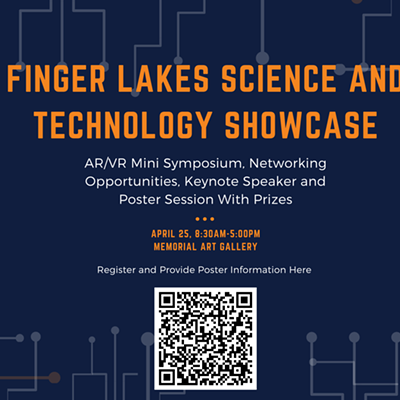
Finger Lakes Science & Technology Showcase @ Memorial Art Gallery
Please join the University of Rochester's Center for Emerging & Innovative Sciences...
Popular Events
-
Out of the Ashes: Restructuring Your Life After a Loss @ Path Forward Counseling
- Wednesdays, 6-8:30 p.m. Continues through June 5 $300
Domestic Violence Foundations with Willow Domestic Violence Center @ Irondequoit Library
- Free
K-4 Crafty Fun Day @ Penfield Public Library
- Wed., April 24, 4:15-5 p.m. FREE
So Fetch: Penelope
@ Little Theatre
- Wed., April 24, 7:30 p.m.
-

On-the-Spot Job Training (Session 1) @ Fairport Library
- Mon., May 20, 11 a.m.-12 p.m.